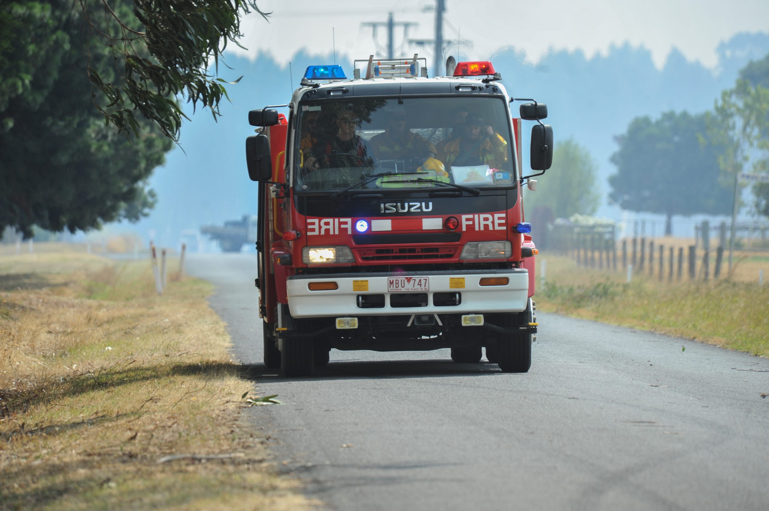
The Latrobe Valley is facing a high risk of bushfire compared to other parts of the state.
An analysis by the CFA has revealed the Latrobe Valley has doubled its fuel load since the 2009 Black Saturday bushfires which claimed 29 houses and the livelihoods of dozens of people throughout the region.
Tyers, Toongabbie, Boolarra, Glengarry North and Yallourn North top the list for the towns most at risk with fine fuel rates sitting between 80 and 90 per cent across the region.
CFA District 27 vegetation management officer John Crane said the Latrobe City was identified as having a particularly high level of fire risk compared to the rest of Victoria.
“People would be familiar with the Dandenongs because of the fires on Ash Wednesday but what people don’t understand is the risk profile for Latrobe is actually higher than that of the southern Dandenongs,” Mr Crane said.
“Predominately there is a significant amount of vegetation surrounding the Latrobe Valley and when we have environments where we have residential settlements and large native vegetation, that increases the risk of bushfire.”
The Profile of Bushfire Risk within Latrobe City report states the risk of bushfire reached a low of 37 per cent in 2009 following the Black Saturday fires – around the same level as if all treatable public land had been managed through burn offs in a single year.
Previously the residual risk had been as high as 99 per cent in 1983.
Data complied by the Phoenix RapidFire simulation tool, developed by the University of Melbourne, is used to calculate the residual risk to properties and landowners based on past fires and planned burns.
Those areas included Tyers which has the highest risk in the municipality, due to its proximity to natural vegetation and native forests, followed by Toongabbie and Boolarra which also rank high on the list of risk localities within the municipality.
Mr Crane said areas such as roadside reserves and council parks required a “tolerable fire interval” meaning the environment was required to burn “as naturally as possible” to regenerate natural species and lower the risk of wild fire.
He said there had been a “body of work done” across the state to identify the residual risk and plan burns accordingly to minimise the risk of fine fuels.
“What we try to do in a planned burn sense is introduce fire as best as possible to replicate how fire would naturally occur in the environment,” Mr Crane, who has worked in fire and emergency management for 30 years, said.
“If we do that well, then we’re introducing fire as it would naturally occur so the environment then uses that fire and adapts to that fire pre-European settlement.
“If it hasn’t had that frequency of burning then it’s missing out on its opportunity to regenerate naturally and can become more fire prone.”
Mr Crane said the planned burns consisted of two levels of planning – identifying fuel treatment plans, and ways around reducing the risk of fuels, for instance at a particular reserve or grassland and how best to approach it.
Landowners were encouraged to use the cooler months to manage their properties and pay close attention to potential fuel loads which could cause problems if the property was to come under ember attack during a bushfire.
“If possible, manage that fuel outside of summer, come and talk to the CFA about how to manage it, work out how to if it is a risk and if so, what can the CFA do to help you manage the risk to your property,” Mr Crane said.
“We can assess the vegetation and whether or not planned burning is the appropriate treatment and we can also help you with undertaking different times of burning.”
For more information, visit A Latrobe Valley Living with Bushfire Initiative at communitybushfireconnection.com.au.


